


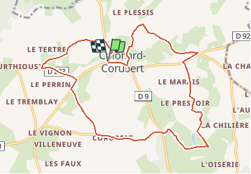

22 km | 28 km-effort


Usuario


Aplicación GPS de excursión GRATIS
 SityTrail
IGN / Institutos geográficos
SityTrail World
El mundo es suyo
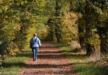
Ruta Senderismo de 10,7 km a descubrir en Normandía, Orne, Perche en Nocé. Esta ruta ha sido propuesta por neitag61.
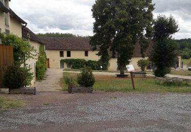
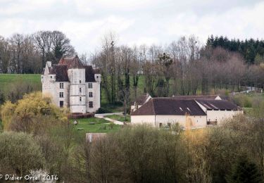
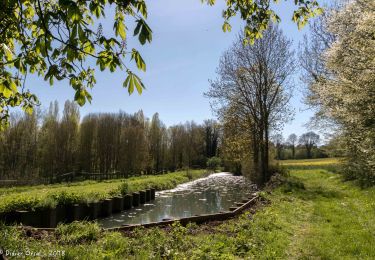
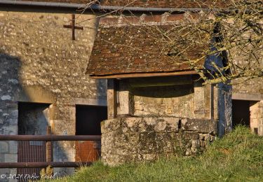
Superbe Circuit avec de multiples vues sur les vallons du Perche et un passage au Manoir de Courboyer ( Maison du Parc Régional du Perche )
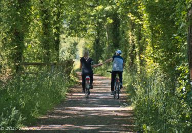
circuit pédestre, équestre et VTT

Senderismo
Senderismo
Senderismo

Senderismo
Senderismo
Senderismo

Senderismo
Senderismo
Senderismo